packyderms_wife
Neither here nor there.
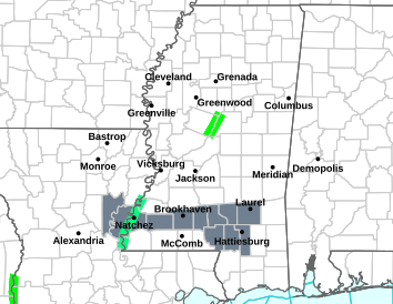
Mississippi
Severe Weather Statement
National Weather Service Jackson MS
930 PM CST Sat Dec 9 2023
MSC121-127-129-100415-
/O.CON.KJAN.TO.W.0065.000000T0000Z-231210T0415Z/
Rankin MS-Simpson MS-Smith MS-
930 PM CST Sat Dec 9 2023
...A TORNADO WARNING REMAINS IN EFFECT UNTIL 1015 PM CST FOR
SOUTHEASTERN RANKIN...NORTHEASTERN SIMPSON AND WEST CENTRAL SMITH
COUNTIES...
At 930 PM CST, a confirmed tornado was located over Puckett, or 7
miles northeast of Mendenhall, moving east at 50 mph.
HAZARD...Damaging tornado.
SOURCE...Radar confirmed tornado.
IMPACT...Flying debris will be dangerous to those caught without
shelter. Mobile homes will be damaged or destroyed. Damage
to roofs, windows, and vehicles will occur. Tree damage is
likely.
This tornado will be near...
Puckett, White Oak, and Martinville around 935 PM CST.
Raleigh around 940 PM CST.
PRECAUTIONARY/PREPAREDNESS ACTIONS...
To repeat, a tornado is on the ground. TAKE COVER NOW! Move to a
basement or an interior room on the lowest floor of a sturdy
building. Avoid windows. If you are outdoors, in a mobile home, or in
a vehicle, move to the closest substantial shelter and protect
yourself from flying debris.
&&
LAT...LON 3197 8987 3210 8990 3212 8949 3195 8949
TIME...MOT...LOC 0330Z 268DEG 43KT 3205 8980
TORNADO...OBSERVED
MAX HAIL SIZE...<.75 IN
$$
DC